While parts of NSW are currently following lockdown orders and various restrictions limit the ability to access some sites, Douglas Partners is using Douglas Map to ensure that projects can keep going until normal work can resume.
With almost 60 years of site investigation experience in the Greater Sydney region, Douglas Partners has a database of over 40,000 boreholes.
In fact, DP’s Sydney Branch Manager, Bruce McPherson notes that:
“In most metropolitan areas, we have a borehole within 100 metres of every site and in many cases on or next door to the new development site.”
With access to this historical data, DP can harness it’s relatively new and powerful GIS system, Douglas Map, into which all our borehole and other test data has been uploaded.
Our team use Douglas Map to visualise the built environment and geology across Australia. It features layers of useful data. This includes elevation contours, acid sulfate soil risk, groundwater wells, boreholes, DP project history, and much more.
This means that we can know the likely ground profile, rock depth and soil properties based on the results of previous field and laboratory testing. This usually provides DP with a level of geotechnical information sufficient for preliminary design, planning and DA submissions.
Douglas Map is an important tool to assist you with your projects needs during this lockdown.
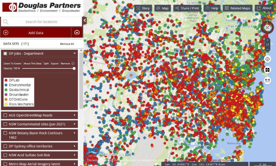
Pictured is a Douglas Map screenshot of Sydney. Each dot represents a project that DP has completed, while the colours differentiate the primary nature of the works performed, i.e. Environmental, Geotechnical etc.
Contact us
Our consultants are ready to assist you. Find your nearest DP office here and contact us by phone or email.