Did you know that the NSW EPA maintain a list of over 1,700 contaminated sites?
When undertaking a contaminated land site investigation Douglas Partners use this information to compile a site history that allows us to identify likely contaminants based on historical site uses. This allows us to be targeted in our analysis whilst ensuring that we test for all the relevant “nasties”.
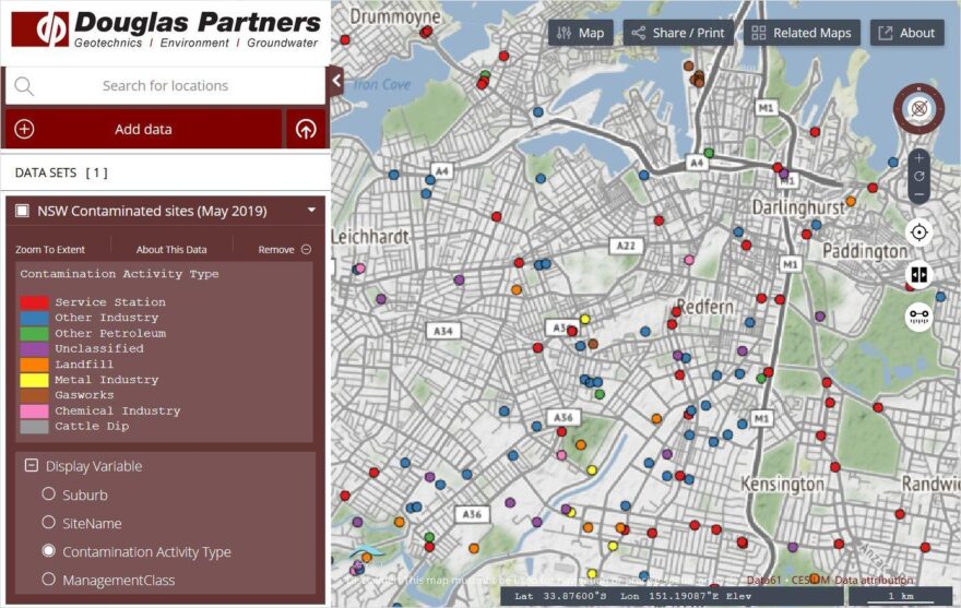
These locations are shown here on “Douglas Map” which we have been trialling to replace our incumbent geospatial explorer software, while providing a simpler user interface than specialist GIS packages. Douglas Map provides our consultants with data from published mapping and government databases in one location. It also contains a database of all of our previous investigations (60,000 of them!) which allow us to leverage our previous experience on every new site. We like it.
Click here for more information on our Environmental Services, including our assessment services for contaminated land.